Tampa GPS Tracking and Telematics
Tampa GPS Tracking & Telematics For Fleets
Serving Fleets for 21+ Years
Fleetistics has been the Tampa GPS Tracking and Telematics authority since the technology was in its infancy. We are recognized as a leading provider of fleet management technology both locally and nationally from Tampa since April 2001. Fleetistics was formally known as GPS Fleet Solutions for the first 15 years of operation. Over time the industry focus shifted from GPS tracking equipment to data-driven solutions. To reflect that shift GPS Fleet Solutions became Fleetistics (Fleet – Statistics).
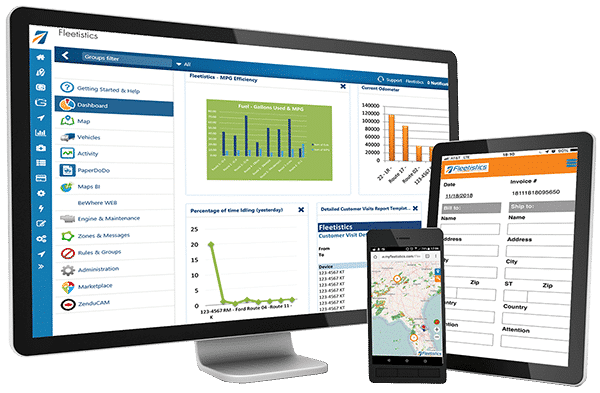
- Fleet Management Platforms – Select Fleet Size & Requirements – Enterprise | Medium | Small
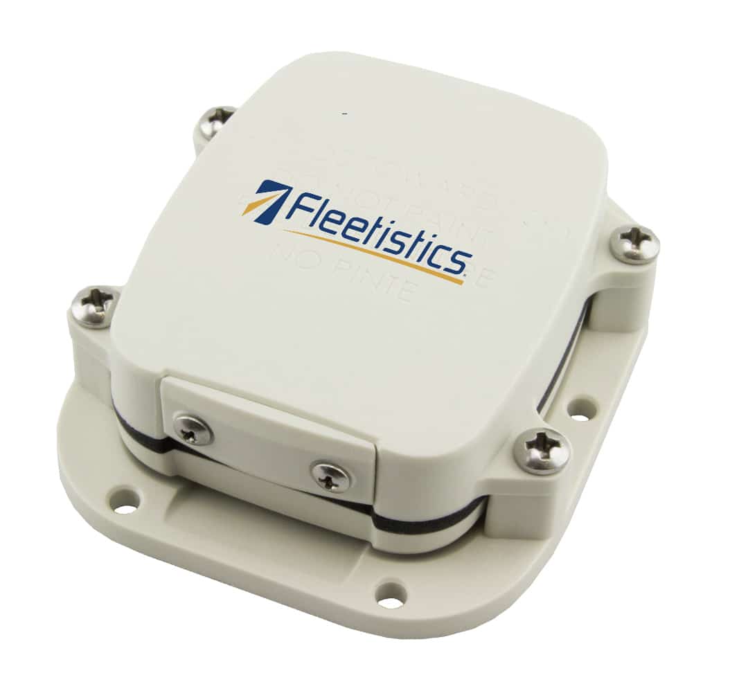
- GPS Trackers – Vehicle Trackers &Â Asset Trackers
- Dashcam Video – Click here
What the Future Holds
The long-term goal of Fleetistics is to translate data from any source and process it into readily consumable information. Data that comes from GPS tracking, dash cameras, sales reports, and other IoT devices provides a clearer picture when viewed contextually as part of a larger puzzle. We can leverage more out of every system when we use them together.
Additionally, the information provided at the right time, and in the right format, increases ROI. It enables fleet managers and field service operations to make good decisions quickly. By knowing the historical trend, a future trajectory can be projected. This allows fleet operators and other Tampa GPS tracking consumers to visualize where their business is going in the next 30 to 90 days.
Tampa’s #1 GPS Vehicle Tracking and Fleet Management Provider
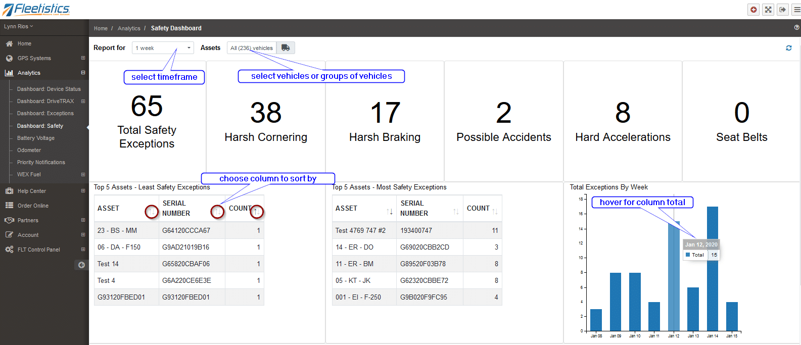
As part of transforming into an information company, Fleetistics has developed several key capabilities. We are focused on development that facilitates growth and success in the telematics industry in Tampa, Florida, and nationally. As a result, Fleetistics has custom-developed our tools to take complex data strings from IoT devices and decode the information.
Simplifying Complex Integration
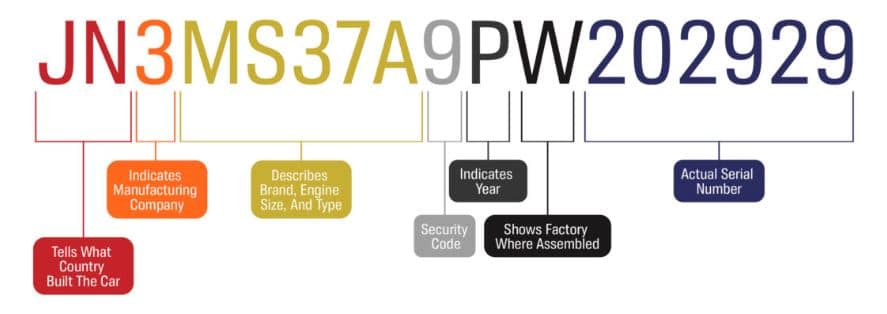
When data is transmitted by an IoT device (Compare GPS trackers) the data is sort of like a VIN. The entire GPS coordinate, battery voltage, and other status data are not clearly included in plain language. Instead, the data is put into a code string and each letter or number, or combination, in the string represents something. It is very much like the VIN on a vehicle but more complicated.
The reason it is done this way is to minimize the number of kilobytes being transmitted. Sending a complete latitude and longitude + other data might be 10 kilobytes but the same data is encoded in a string it is 2 kilobytes. Over the course of a day or month, the 80% savings is reflected in a significant cost reduction from cellular carriers like AT&T, Verizon, T-Mobile, and Telefonica.
We process that complex data into a usable API saving our clients the time, cost, and frustration associated with complex development projects. Call us to learn more.

